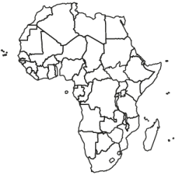
Africa Map Edition
Specific country selection
Looking for maps for a specific African country? Select from among the available individual country editions, which are offered in three price categories, starting at €375.
| Available languages | German, English |
|---|---|
| Package contents | The maps will be delivered as a download. Maps for each country are saved in separate files. The data format and scope are determined by the products you select. |
| License | single workstation / in-house for 12 months |
| Postcode maps | Postal boundaries are available in a varying level of detail. Coverage of at least the two-digit postcode boundaries is provided for all countries that have postal systems. Even more detailed postal boundaries are available for some countries. |
| Administrative maps | Coverage of at least the largest administrative boundaries is provided for every country on the continent. Almost all country editions also include coverage of the second-largest administrative level. |
| Specific layers | No |
| Countries | No |
