
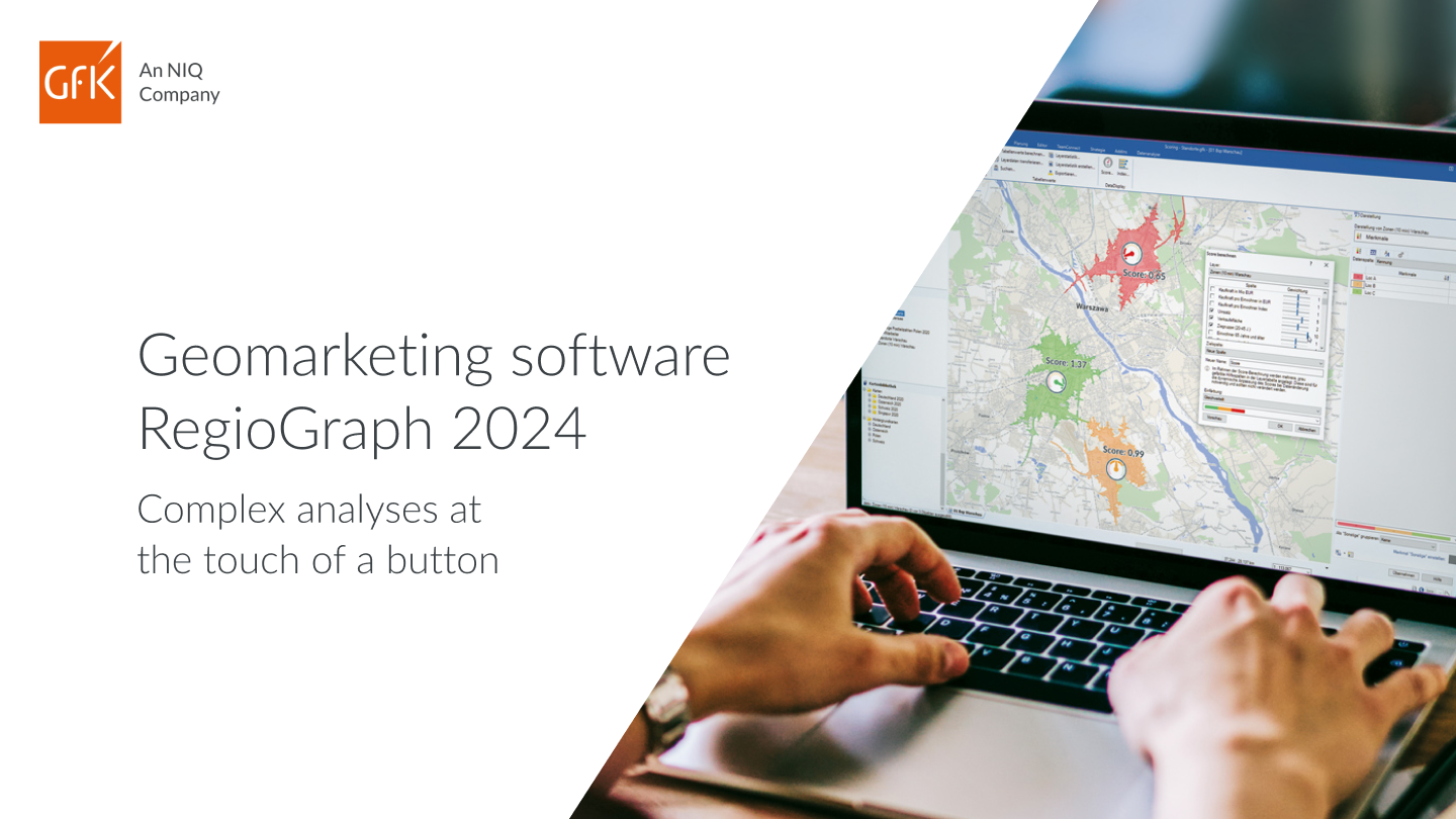
RegioGraph
Geomarketing software for geographic analyses
RegioGraph is an award-winning geomarketing software that allows you to visualize and analyze your company data directly on digital maps. In combination with the included GfK purchasing power data, you can use RegioGraph to display your customer distribution, evaluate your sales structure and discover untapped market potential. The new RegioGraph TeamConnect add-on lets you share results online with colleagues, leading to more streamlined communication and decision-making.
The right version for every need: Select from among three RegioGraph software versions: Analysis, Planning and Strategy. The RegioGraph TeamConnect add-on is available for all versions. Watch our comparison of software versions to determine which is best for your needs. We additionally offer RegioGraph LocationAdvice, a browser-based online application that allows you to carry out location analyses when traveling or in the field.
Current versions
For sales, marketing, controlling and expansion planning

RegioGraph Analysis
RegioGraph Analysis offers detailed regional and market analyses in marketing, controlling and market research.

RegioGraph Planning

RegioGraph Strategy

RegioGraph Trainings

RegioGraph videos
Get insights into the software

These are the highlights
of RegioGraph 2024

Find duplicates in RegioGraph’s table view
Use the “Find duplicates” function to search any column for duplicates and then analyze and delete them if necessary.
Calculate up to 3 nearest locations
By calculating up to 3 nearest locations based on distance and travel time, you can see which replacement location can take over supply if the nearest location fails and how this will increase travel distances.
Calculate drive-time zones for field staff who live outside their territory
Display and calculate drive-time zones limited by territories for field staff who live outside their territory.
Align your objects to grids or other objects
You can now align layout objects such as headings and legends to a grid or to other layout objects.