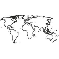
World Edition
-
World Map Edition (complete)
complete package
The World Edition contains maps for all countries in all continents for a discounted packet price. The map edition includes detailed postcode and administrative maps as individual map layers for each country. The maps and associated boundaries fit together seamlessly without gaps or overlaps and are based on geographic coordinates (WGS 84). All layers include comprehensive place-name attributions in the international and local nomenclature, as well as in German.
The indicated price is per year.from €17,000.00Excl. 0% VAT -
World Map Edition (administrative level 1) as a 3-year-subscription
All national boundaries & select cities. RegioGraph maps in the *.lay format
This edition provides coverage of all national boundaries and includes a city layer that features select cities around the globe.
The indicated price is per year.from €500.00Excl. 0% VAT


