-
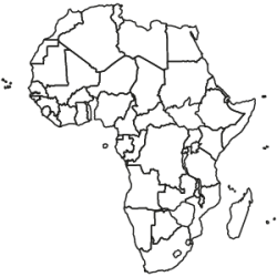
Africa Map Edition as a 3-year-subscription
RegioGraph maps in the *.lay format
Looking for maps for a specific African country? Select from among the available individual country editions, which are offered in three price categories, starting at €250 per year.
from €250.00Excl. 0% VAT -
Africa Continent Edition as a 3-year-subscription
RegioGraph maps in the *.lay format
The Africa Continent Edition contains maps for all countries on the African continent for a discounted packet price. The map set includes all available postcode and administrative maps as individual map layers for each country. The maps and associated boundaries fit together seamlessly without gaps or overlaps and are based on geographic coordinates (WGS 84). All layers include comprehensive place-name attributions in the international and local nomenclature, as well as in German.
The indicated price is per year.The maps are available as individual country-editions.
from €2,000.00Excl. 0% VAT -
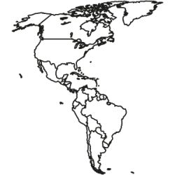
America Map Edition as a 3-year-subscription
RegioGraph maps in the *.lay format
Looking for maps for a specific country in the Americas? Select from among the available individual country editions, which are offered in three price categories, starting at €250 per year.
from €250.00Excl. 0% VAT -
America Continent Edition as a 3-year-subscription
RegioGraph maps in the *.lay format
The America Continent Edition contains maps for all countries on the American continent for a discounted packet price. The map edition includes detailed postcode and administrative maps as individual map layers for each country. The maps and associated boundaries fit together seamlessly without gaps or overlaps and are based on geographic coordinates (WGS 84). All layers include comprehensive place-name attributions in the international and local nomenclature, as well as in German.
The indicated price is per year.The maps are available as individual country-editions.
from €5,000.00Excl. 0% VAT -

Oceania Map Edition as a 3-year-subscription
RegioGraph maps in the *.lay format
Looking for maps for Australia or New Zealand? Select from among the available individual country editions, which are offered in two price categories, starting at €500 per year.
from €500.00Excl. 0% VAT -
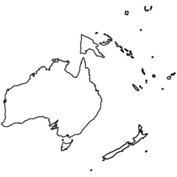
Oceania Continent Edition as a 3-year-subscription
RegioGraph maps in the *.lay format
The Oceania Continent Edition includes Australia and New Zealand for a discounted packet price. Each country in the edition includes all available postcode and administrative maps as individual map layers. The maps and associated boundaries fit together seamlessly without gaps or overlaps and are based on geographic coordinates (WGS 84). All layers include comprehensive place-name attributions in the international and local nomenclature, as well as in German.
The indicated price is per year.
The maps are also available as individual country-editions.from €1,250.00Excl. 0% VAT -
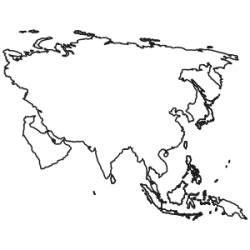
Asia Continent Edition as a 3-year-subscription
RegioGraph maps in the *.lay format
The Asia Continent Edition contains maps for all countries on the Asian continent for a discounted packet price. The map edition includes detailed postcode and administrative maps as individual map layers for each country. The maps and associated boundaries fit together seamlessly without gaps or overlaps and are based on geographic coordinates (WGS 84). All layers include comprehensive place-name attributions in the international and local nomenclature, as well as in German.
The indicated price is per year.
The maps are also available as individual country-editions.from €8,000.00Excl. 0% VAT -
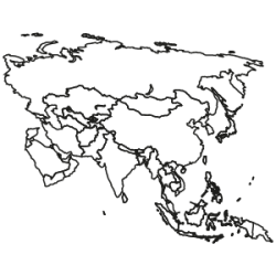
Asia Map Edition as a 3-year-subscription
RegioGraph maps in the *.lay format
Looking for maps for a specific Asian country? Select from among the available individual country editions, which are offered in three price categories, starting at €250 per year.
from €250.00Excl. 0% VAT -
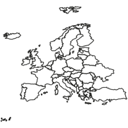
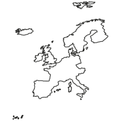
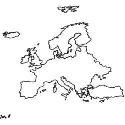
Europe Map Edition as a 3-year-subscription
RegioGraph maps in the *.lay format
Looking for maps for a specific European country? Select from among the available individual country editions, which are offered in three price categories, starting at €250 per year.
from €250.00Excl. 0% VAT -

Europe Continent Edition as a 3-year-subscription
RegioGraph maps in the *.lay format
The Europe Continent Edition contains maps for all countries in Europe for a discounted packet price. The map edition includes detailed postcode and administrative maps as individual map layers for each country. The maps and associated boundaries fit together seamlessly without gaps or overlaps and are based on geographic coordinates (WGS 84). All layers include comprehensive place-name attributions in the international and local nomenclature, as well as in German.
The indicated price is per year.
The maps are available as individual country-editions.from €8,000.00Excl. 0% VAT -
Eastern Europe Continent Edition as a 3-year-subscription
The Eastern Europe Continent Edition contains maps for all 23 countries in Eastern Europe for a discounted packet price. The map edition includes detailed postcode and administrative maps as individual map layers for each country. The maps and associated boundaries fit together seamlessly without gaps or overlaps and are based on geographic coordinates (WGS 84). All layers include comprehensive place-name attributions in the international and local nomenclature, as well as in German. The indicated price is per year.
The indicated price is per year.The maps are also available as individual country-editions.
from €4,500.00Excl. 0% VAT -
Western Europe Continent Edition as a 3-year-subscription
RegioGraph maps in the *.lay format
The Western Europe Continent Edition contains maps for all 18 countries in Western Europe for a discounted packet price. The map edition includes detailed postcode and administrative maps as individual map layers for each country. The maps and associated boundaries fit together seamlessly without gaps or overlaps and are based on geographic coordinates (WGS 84). All layers include comprehensive place-name attributions in the international and local nomenclature, as well as in German.
The indicated price is per year.
The maps are also available as individual country-editions.from €4,500.00Excl. 0% VAT -
Europe 2-digit postcode / NUTS Edition as a 3-year-subscription
RegioGraph maps in the *.lay format
The Europe 2-digit postcode / NUTS Edition features coverage of the European administrative units, with supplementary streets, cities, rivers and lakes. Coverage of the 2-digit postcode boundaries is provided for all European countries. This provides a unified basis for carrying out Europe-wide market analyses and sales territory planning.
The indicated price is per year.from €500.00Excl. 0% VAT -

World Map Edition (complete)
complete package
The World Edition contains maps for all countries in all continents for a discounted packet price. The map edition includes detailed postcode and administrative maps as individual map layers for each country. The maps and associated boundaries fit together seamlessly without gaps or overlaps and are based on geographic coordinates (WGS 84). All layers include comprehensive place-name attributions in the international and local nomenclature, as well as in German.
The indicated price is per year.from €17,000.00Excl. 0% VAT -

World Map Edition (administrative level 1) as a 3-year-subscription
All national boundaries & select cities. RegioGraph maps in the *.lay format
This edition provides coverage of all national boundaries and includes a city layer that features select cities around the globe.
The indicated price is per year.from €500.00Excl. 0% VAT -

CRESTA Zones World Edition as a 3-year-subscription
The CRESTA World Edition contains the CRESTA zones for all continents, including the official numeric attributions. The zone boundaries fit together seamlessly without gaps or overlaps and are based on geographic coordinates (WGS 84).
The indicated price is per year.from €5,000.00Excl. 0% VAT -
CRESTA Zones Europe Edition as a 3-year-subscription
RegioGraph maps in the *.lay format
The CRESTA Europe Edition contains the CRESTA zones for all European countries, including the official numeric attributions. The zone boundaries fit together seamlessly without gaps or overlaps and are based on geographic coordinates (WGS 84).
The indicated price is per year.from €6,000.00Excl. 0% VAT -
CRESTA Zones America Edition as a 3-year-subscription
RegioGraph maps in the *.lay format
The CRESTA America Edition contains the CRESTA zones for all American countries, including the official numeric attributions. The zone boundaries fit together seamlessly without gaps or overlaps and are based on geographic coordinates (WGS 84).
The indicated price is per year.from €3,750.00Excl. 0% VAT -
CRESTA Zones Africa Edition as a 3-year-subscription
RegioGraph maps in the *.lay format
The CRESTA Africa Edition contains the CRESTA zones for all African countries, including the official numeric attributions. The zone boundaries fit together seamlessly without gaps or overlaps and are based on geographic coordinates (WGS 84).
The indicated price is per year.from €1,500.00Excl. 0% VAT -
CRESTA Zones Oceania Edition as a 3-year-subscription
RegioGraph maps in the *.lay format
The CRESTA Oceania Edition contains the CRESTA zones for all countries in Oceania, including the official numeric attributions. The zone boundaries fit together seamlessly without gaps or overlaps and are based on geographic coordinates (WGS 84). The indicated price is per year.
from €750.00Excl. 0% VAT -
CRESTA Zones Asia Edition as a 3-year-subscription
RegioGraph maps in the *.lay format
The CRESTA Asia Edition contains the CRESTA zones for all Asian countries, including the official numeric attributions. The zone boundaries fit together seamlessly without gaps or overlaps and are based on geographic coordinates (WGS 84).
The indicated price is per year.from €4,875.00Excl. 0% VAT
RegioGraph Maps
Comprehensive digital maps for the entire world
Select from among our map offering
Choose your maps in the *.lay format in a continent or country edition

Europe

Africa

Oceania

America

Asia

World Edition

CRESTA
Trademark GfK quality
What makes our offering unique

Unparalleled coverage
We offer the largest collection of digital postcode and administrative maps on the market.
Rigorously researched and up-to-date
Our maps are digitized and regularly updated according to the highest standards by our own in-house cartographers.
Seamless fit
Our maps and market data fit together seamlessly, without gaps or overlaps. This allows you to plan accurately across numerous market areas and regional levels.