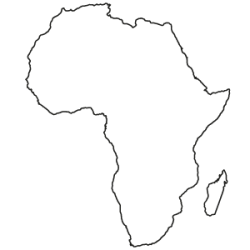
Africa Continent Edition
The Africa Continent Edition contains maps for all countries on the African continent for a discounted packet price. The map set includes all available postcode and administrative maps as individual map layers for each country. The maps and associated boundaries fit together seamlessly without gaps or overlaps and are based on geographic coordinates (WGS 84). All layers include comprehensive place-name attributions in the international and local nomenclature, as well as in German.
The maps are available as individual country-editions.
| Available languages | German, English |
|---|---|
| Package contents | The maps will be delivered as a download. Maps for each country are saved in separate files. The data format and scope are determined by the products you select. |
| License | single workstation / in-house for 12 months |
| Postcode maps | The country editions provide coverage of at least the 2-digit postcode boundaries for all countries that have postal systems. More detailed postcode levels are available for some countries. |
| Administrative maps | For almost all countries, coverage of the largest and second-largest administrative levels is provided (e.g., states, provinces, districts or municipalities). |
| Specific layers | No |
| Countries | No |
